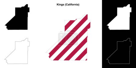
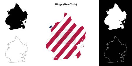
13 Vektoren zum Thema "Kings Grenzkarte" bei ClipDealer

Medien sortieren nach     Gehe zu Seite:    
« Vorherige  1  Nächste »
Two-toned map of Long island, New York with the largest highways, roads and surrounding islands and islets
Egypt highly detailed physical map, in vector format,with all the relief forms,regions and big cities.
vector map of the mojave desert in the western united states
long Iceland map
Highly detailed vector map of Egypt with administrative regions, main cities and roads.
Kings County (Canada, Prince Edward Island Province, North America) map vector illustration, scribble sketch Comte de Kings map
Three Kings blank outline map set
Sunbury, Queens and Kings County (Canada, New Brunswick Province, North America) map vector illustration, scribble sketch map
Kings County (Canada, Nova Scotia Province, North America) map vector illustration, scribble sketch Kings map
New York State counties, gray political map. New York, a state of the Northeastern United States, one of the Mid-Atlantic states, subdivided into 62 counties. Map with boundaries and county names.
New York State counties, political map. New York, a state of the Northeastern United States, one of the Mid-Atlantic states, is subdivided into 62 counties. Map with boundaries and county names.
Kings County (California) outline map set
Kings County (New York) outline map set

« Vorherige  1  Nächste »