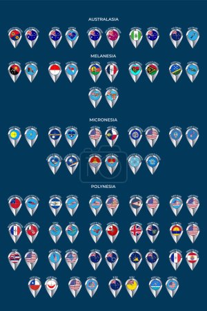
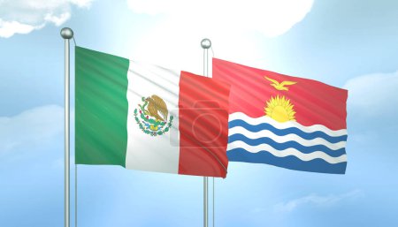
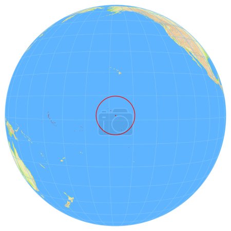
20 Bilder zum Thema "kiribati map" bei ClipDealer

Medien sortieren nach     Gehe zu Seite:    
« Vorherige  1  Nächste »
High detailed flag of Kiribati. National Kiribati flag. Oceania. 3D illustration.
Seismic activity earthquake Kiribati map Richter scale
High detailed flag of Kiribati. National Kiribati flag. Oceania. 3D illustration.
Seismic activity earthquake Kiribati map Richter scale
High detailed flag of Kiribati. National Kiribati flag. Oceania. 3D illustration.
Flags of Oceania
Set of illustrations of pointers in the form of flags of the countries of Australia and Oceania. Groups of Australasia, Micronesia, Melanesia and Polynesia.
waving flag of Kiribati
3D Flag of Palestine and Kiribati on Blue Sky with Sun Shine
Magnified flag of kiribati with blue globe
3D Flag of South Korea and Kiribati on Blue Sky with Sun Shine
3D Flag of Spain and Kiribati on Blue Sky with Sun Shine
3D Flag of Indonesia and Kiribati  on Blue Sky with Sun Shine
3D Flag of Mexico and Kiribati on Blue Sky with Sun Shine
View of the Earth from space showing the location of the country Kiribati in Oceania. The country is highlighted with a red polygon. Small countries are also marked with a red circle. No labels at all.
3D Flag of Australia and Kiribati on Blue Sky with Sun Shine
3D Flag of Brazil and Kiribati on Blue Sky with Sun Shine

« Vorherige  1  Nächste »