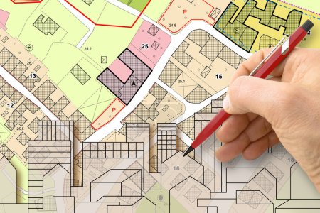
Architect drawing buildings over an imaginary ... 

Media-ID: B:625494544
Nutzungsrecht:
Kommerzielle und redaktionelle Nutzung
Architect drawing buildings over an imaginary cadastral map of territory and General Urban Plan with indications of urban destinations with buildings, roads, buildable areas and land plot
| Vorschau |
Varianten
Mediainfos
|
Dieses Bild mit unserem Kundenkonto ab £0.83 herunterladen!
|
||||
| Standardlizenz: JPG | ||||
| Format | Bildgröße | Downloads | ||
|
Print XXL 15 MP |
4752x3168 Pixel 40.23x26.82 cm (300 dpi) |
1 | ||
| Standardlizenz: JPG | ||||
| Format | Bildgröße | Netto | Brutto | Preis |
|
Web S 0.5 MP |
500x333 Pixel 16.93x11.28 cm (75 dpi) |
£3.39 | £3.63 | |
|
Print M 2 MP |
1000x667 Pixel 8.47x5.65 cm (300 dpi) |
£6.00 | £6.42 | |
|
Print XL 8 MP |
2000x1333 Pixel 16.93x11.29 cm (300 dpi) |
£11.22 | £12.01 | |
|
Print XXL 15 MP |
4752x3168 Pixel 40.23x26.82 cm (300 dpi) |
£13.83 | £14.80 | |
| Merchandisinglizenz: JPG | ||||
| Format | Bildgröße | Netto | Brutto | Preis |
|
Print XXL 15 MP |
4752x3168 Pixel 40.23x26.82 cm (300 dpi) |
£69.51 | £74.38 | |
| Media-ID: | B:625494544 |
| Aufrufe: | 1 |
| Beschreibung: | Architect drawing buildings over an imaginary cadastral map of territory and General Urban Plan with indications of urban destinations with buildings, roads, buildable areas and land plot |
Nutzungslizenz
| Nutzungsrecht: | Kommerzielle und redaktionelle Nutzung |
Userinfos
| Hinzugefügt von: | Francescoscatena |
| Weitere Medien von Francescoscatena |
Bewertung
| Bewertung: |
|
Suchbegriffe
| Keywords: |


